The 1960s were nothing if not an era of experimental aviation, including, unexpectedly, for drones, which had bold designs but were profoundly limited by the sensors of the day.
On March 21, the National Reconnaissance Office released a trove of documents about the D-21 “Tagboard”, a supersonic spy drone that was proposed in 1963 and mothballed by July 1971.
Beyond the historical novelty, the D-21 program is worth a second look for what it tells us about the threats and capabilities of its day. The D-21 was built to be carried to 80,000 feet by the A-12 spyplane, and then continue on a mission for over 3,000 miles, capturing photographs of the ground below at a resolution of about 1-½ to 2 feet. The film would then be ejected and recovered in air, a weirdly common Cold War design that feels generations removed from present-day digital cameras and data transmission. A plan for 20 D-21 drones, modifications to the A-12s, cameras, and everything else required was recommended for approval in February 1963. The intelligence agency spent $8 million on the program in FY63 and $60 million in FY64, or roughly $440 million in 2019 dollars.
The D-21 was programmed to follow a preset flight-path, using an inertial navigator and a mechanical computer to check where it was. It could hit up to 32 destinations. A secondary function designed to check for course correction could fail, setting off the whole of the drone’s flight path. A memorandum dated March 23, 1970, details a proposed change to the computing system, adding a clock and predicted times to allow the drone to check off destinations if it flew close enough to where it was supposed to be.
This system is too rudimentary to really lump in with modern autonomous design, but the flaws of its implementation are notable for how it works in what today we would call a denied environment. Built to fly beyond the reach of remote controllers and in an era before GPS, the D-21 could rely only on its initial programming to get the job done.
It is that absence of reliable satellite architecture that made the development of D-21 possible, and it is the continued improvement of surveillance satellites that made the D-21 obsolete. One specific aim for the D-21 was to capture footage of China’s nuclear facilities. To that end four missions were flown over China between 1969 and 1971. These missions were characterized by failure, most notably an inability to safely eject and recover the film.
While satellites marked the end of the D-21, its origin included a far more human set of risks. Surveillance drones had many limitations over directly piloted vehicles, but they didn’t carry the risk of producing a human hostage if shot down. From a military standpoint, that made drones like the D-21 ideal for missions where there was a risk of being shot down. Diplomatically, satellites provided coverage that was even less obtrusive.
“Nonetheless, the political atmosphere is such that there are no areas of the world of strategic significance where we are willing to have manned overflight of denied territory,” wrote NRO Director John McLucas, “I am sure the State Department would be overjoyed to hear that we had decided to spend future development money in upgrading our satellites rather than trying to improve our drones.”
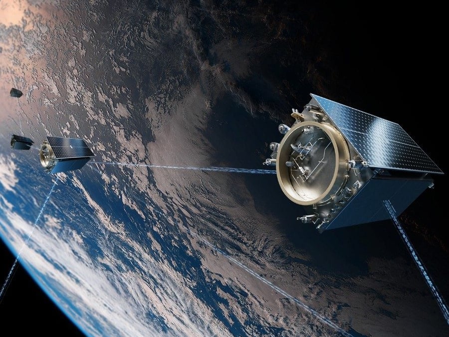
That satellite architecture is the backbone of the NRO today. Speed and scale of footage, the kinds of photos taken, and the ways in which that data is shared and processed and used have all expanded exponentially since the end of the Tagboard program. That’s to say nothing of the impact that GPS constellation has had on navigation systems used by people and drones.
Where the D-21 archive is most valuable is in looking at past answers to the challenges of drone operations in an era before satellites.
While space is formally a peaceful domain, decades of putting surveillance tools in orbit has led multiple nations (and even some nonstate actors) to develop techniques for disabling satellites, using everything from missiles to jamming to hacking. If there is a coherent impulse behind the creation of a dedicated Space Force, is is that what exists in space is invaluable for the Pentagon’s current way of fighting war. New GPS satellites are built with the present hazards in mind, to safeguard the constellation through individual satellite improvements. On March 27th, India announced that it had used a missile to destroy a low-earth-orbit satellite.
Still, the Pentagon is developing tools and techniques for a world in which objects in orbit are no longer assumed safe.
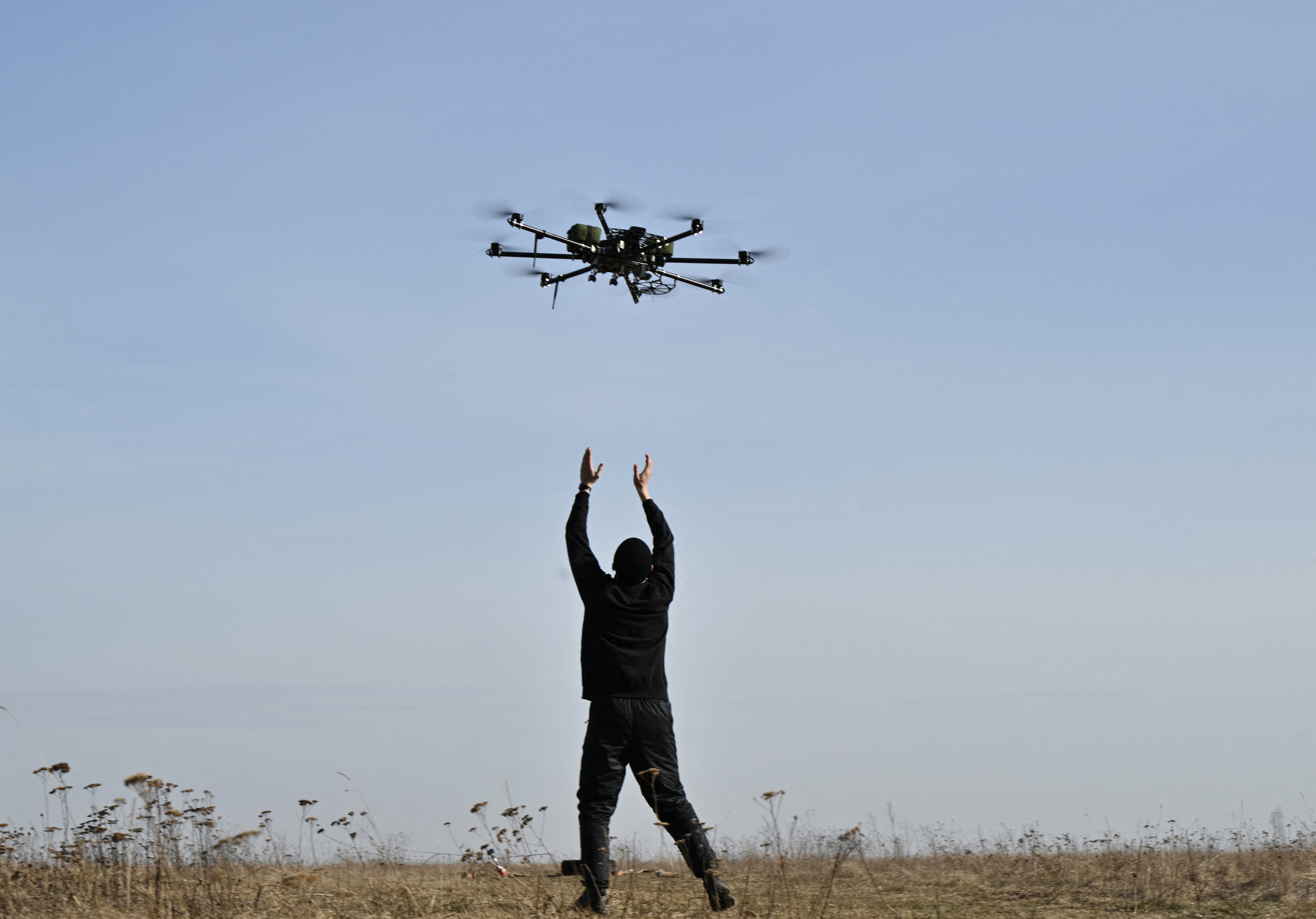
Autonomous systems, designed to complete tasks in denied environments, are first and foremost among these adaptations. The limitations of the D-21, especially its modest navigation system and its film cameras, are already solved problems in the rest of the drone world. Its operational history, and really its entire development cycle, are full of useful nuggets to mine about how drones can be designed and work in an era without persistent GPS navigation or satellite coverage.
Kelsey Atherton blogs about military technology for C4ISRNET, Fifth Domain, Defense News, and Military Times. He previously wrote for Popular Science, and also created, solicited, and edited content for a group blog on political science fiction and international security.


