From planning long-term military strategies to executing operations in the heat of battle, defense and intelligence organizations need access to current geospatial intelligence in its many forms for numerous activities. While combining this GEOINT — from satellite imagery and real-time video to maps and 3D terrain models — establishes an accurate digital representation of the area of interest (AOI), true situational awareness comes from dynamically updating and evolving this digital representation.
Getting all this information to resources in the field is critical. The rapidly evolving state of warfare and the speed of military operations necessitates increasingly accurate intelligence to be collected and delivered instantly, and under very challenging conditions, to units on the ground.
Near-peer adversaries pose another key challenge to U.S. and coalition units. Recent assessments state that these adversaries, who possess comparable or superior technologies, may deploy sophisticated techniques to disable our forces’ ability to communicate and collaborate during tactical engagements. Friendly forces will need to reliably provide geospatial intelligence to battlefield units under these adverse conditions.
Thankfully, emerging innovations in artificial intelligence and edge computing are addressing these challenges.
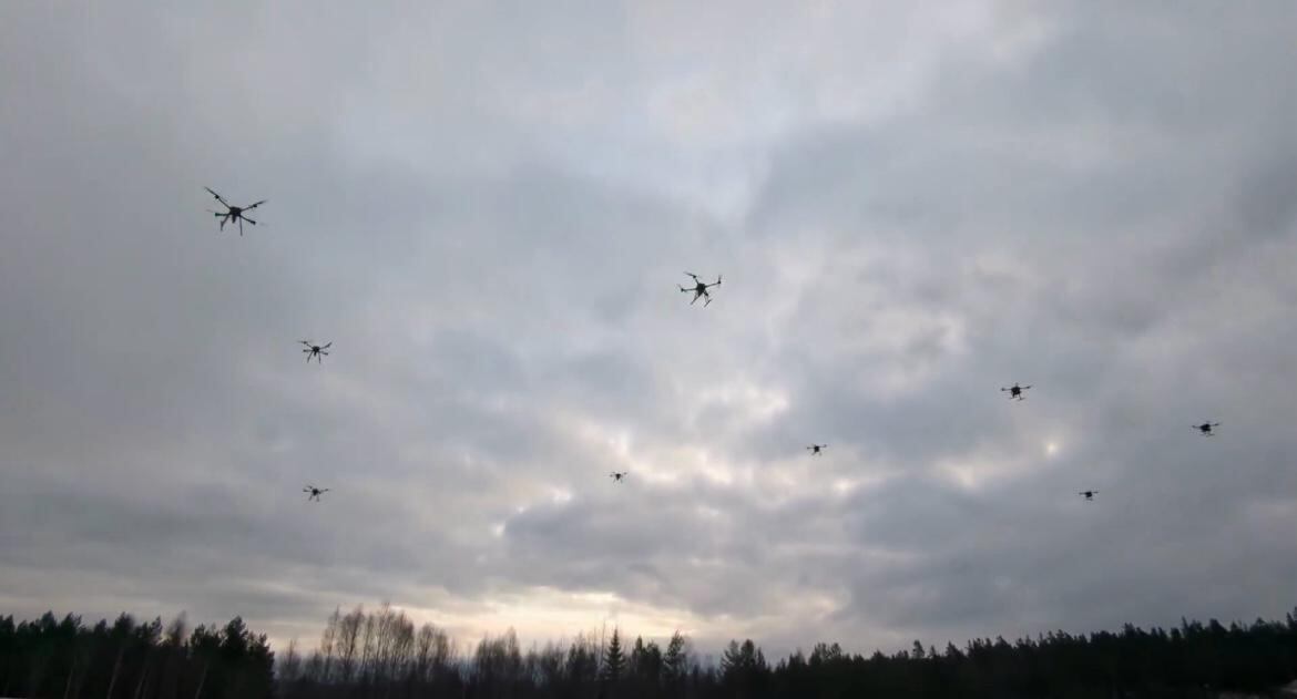
In future near-peer combat, coalition forces will require orchestrated tasking of an increasingly larger number of complex assets across sea, land, air, space, and cyber domains. These assets range in size and sophistication — from sea-going vessels and large transport aircraft to swarms of tiny sensors that may be deployed in an autonomous manner. AI is expected to play a critical role in this increasingly decentralized orchestration. Not only can it help maximize mission effectiveness, but it can also help tactical-level operators by taking on the role of cueing and tasking assets. New solutions are effectively orchestrating vehicles and devices and may play a key role in these types of architectures.
Establishing accurate and timely situational awareness is absolutely critical during mission execution. This can be achieved by creating a dynamic common operating picture (COP) that brings all of the available intelligence about an AOI into a single 2D or 3D display. Today’s platforms are ideally suited for multidomain COPs because they have the ability to seamlessly incorporate a wide variety of GEOINT data types and overlay dynamically updated position information for assets, such as troops, ground vehicles, aircraft and seagoing vessels. Additionally, these solutions can be easily configured to support the specific requirements of a mission and incorporate sophisticated analytics.
Another capability AI brings is improving surveillance and monitoring activities. By improving the ability to predict a target’s behavior based on analysis of historical patterns, current trends and dynamic factors (such as weather and adversarial behavior), AI can help determine the most suitable method and location for the deployment of assets for performing surveillance. By using vast amounts of historical data as a baseline, AI-based solutions can also be used to detect anomalies, thereby augmenting the process of nominating targets for surveillance.
AI can also augment the generation of prioritized Courses of Action (CoA’s) once targets have been nominated and a response is in order. AI can incorporate mission objectives and multidimensional constraints and then sift through vast amounts of data and run numerous models. AI algorithms can then generate, simulate and evaluate an extremely large number of candidate solutions in a very short period of time. New solutions build these capabilities into their offerings, which can also automatically task and cue additional intelligence, surveillance and reconnaissance assets to efficiently generate additional actionable intelligence.
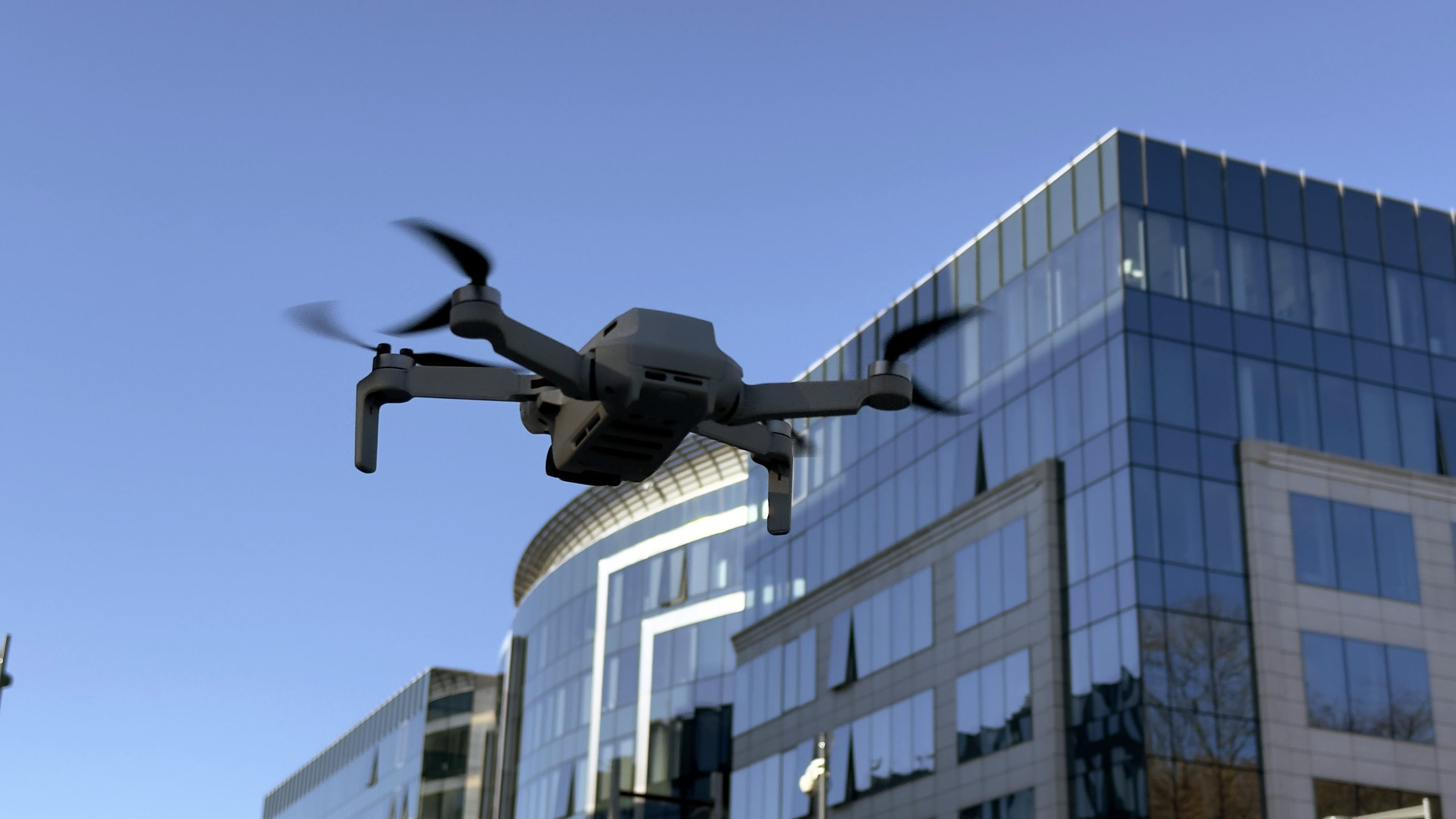
AI plays a role in the deployment of tactical drones that can operate autonomously “at the edge” in a signals-compromised environment. The tactical drones deployed at the tip of the spear provide accurate 2D and 3D models of an area of interest within hours of kinetic actions.
It is also possible to augment the GEOINT data collected from other sources. Today’s solutions provide flexibility and control for collecting intelligence over an area that may or may not be accessible by other collection means in the needed timeframe. The intelligence collected from these missions can then be overlaid upon other GEOINT sources in the COP to build a more complete and up-to-date digital representation of the AOI, thus increasing the chances for mission success.
AI capabilities at the edge, essentially on drones, could generate valuable intelligence in near-real time and further enhance the effectiveness of the collection. Some of these examples include calculating immediate change detection readouts between flights or data sets, automating the identification of vehicles, or even creating the ability to recognize and count the number of humans on the ground instantly, and then making immediate onboard adjustments in the collection parameters. These examples illustrate how AI-enhanced sensors and compact, high-performance computing hardware onboard an unmanned aerial system can produce the next stage of intelligence data simultaneous with collection, thereby dramatically speeding up the decision-making cycle.
One method that adversaries will employ to disrupt battlefield operations is jamming GPS and other signals. Robust anti-jamming and anti-spoofing chips are becoming more readily available and can add another level of resilience to these systems. Onboard chips can incorporate self-contained atomic clocks and pseudo-positioning capabilities that allow them to operate despite jamming efforts or cyberattacks.
Accurate, up-to-date GEOINT is critical for creating a dynamic digital representation of the battlespace and related real-time situational awareness, which can help establish a decision advantage over our adversaries.
Enhancing tasking, collection, surveillance and exploitation systems with artificial intelligence and other advanced technologies will not only improve the effectiveness of these systems, but will also improve their ability to function in future environments where it is expected that adversaries will deploy sophisticated jamming and cyber techniques.
Rob Mott is vice president at Hexagon US Federal, a provider of integrated geospatial and technical solutions to the U.S. government.


