WASHINGTON — The National Geospatial-Intelligence Agency, or NGA, will seek to procure unclassified data services from multiple companies in an effort known as Luno A, according to its director.
The contracting push is meant to meet “the increasing demands for commercial GEOINT,” or geospatial intelligence such as images and data collected by Earth-facing satellites, Vice Adm. Frank Whitworth said Dec. 12 at the DODIIS Worldwide Conference in Portland, Oregon.
The NGA analyzes imagery, maps the Earth for military purposes and handles portions of Project Maven, launched by the Pentagon in 2017 to detect targets of interest in footage captured by uncrewed systems. The project has since become a program of record at the agency.
RELATED
A request for proposals is expected next month. A draft published in late October described Luno A as transformative to the agency’s methods. It also emphasized NGA isn’t seeking additional technology to install and manage on classified networks.
“The goal is to enable NGA to do two things: Acquire commercial GEOINT object detections and leverage industry analytics and automation in areas of national security interest, of course,” Whitworth said.
Whitworth on Tuesday said the value of Luno A contracts would be “significant” but declined to give an exact dollar figure.
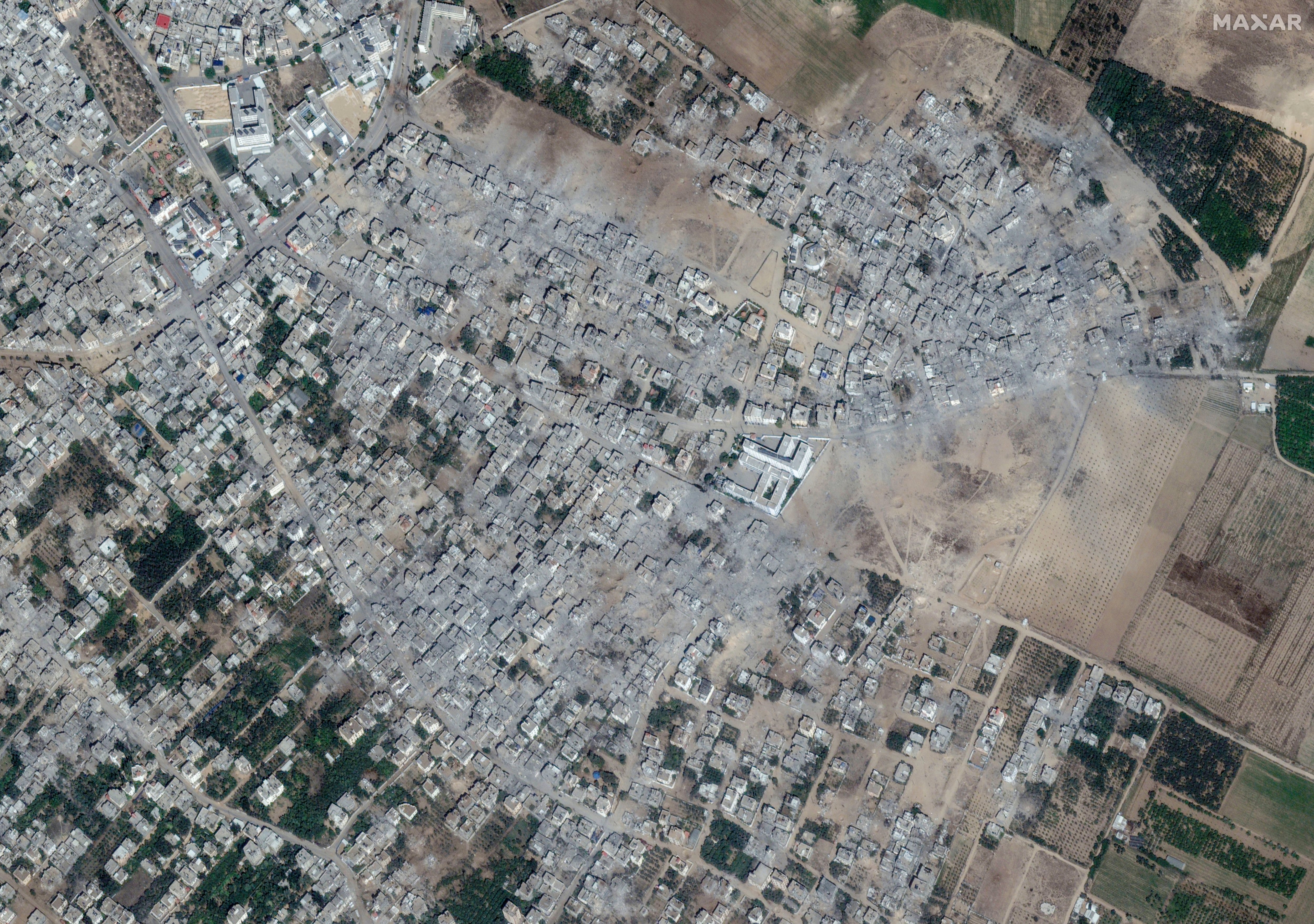
Overhead imagery is a resource of growing importance, with governments and expert organizations relying on it to monitor neighbors and affairs farther afield. Such photos and analysis were used to expose Russia’s materiel buildup ahead of its invasion of Ukraine last year. More recently, photos and video have shown the destruction wrought by the Israel-Hamas war.
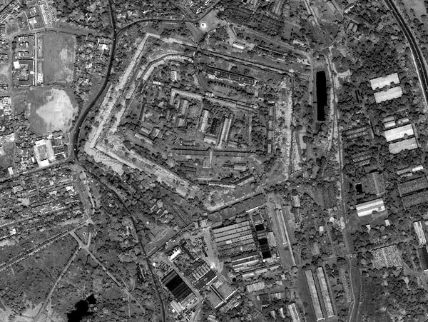
The NGA is the intelligence community’s lead organization for analyzing imagery and turning it into usable information. The agency relies on what’s called the National System for Geospatial Intelligence, or NSG, to distribute nearly a petabyte of data around the globe each day.
C4ISRNET reporter Courtney Albon contributed to this article.
Colin Demarest was a reporter at C4ISRNET, where he covered military networks, cyber and IT. Colin had previously covered the Department of Energy and its National Nuclear Security Administration — namely Cold War cleanup and nuclear weapons development — for a daily newspaper in South Carolina. Colin is also an award-winning photographer.
