The National Geospatial-Intelligence Agency recently inked a deal to acquire a new crop of commercial satellite imagery from San Francisco-based provider Planet.
The contract is interesting in part because of what it offers in terms of imagery: A view that covers 85 percent of the Earth's landmass, refreshed every 15 days.
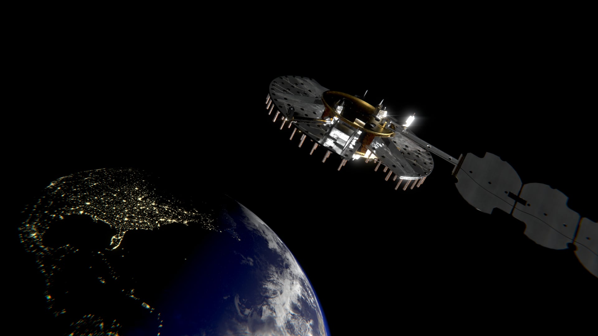
Equally significant, though, is the nod this $20 million contract gives to the rising significance of small satellites. As NGA looks to increase the variety of its intel and the flexibility of its platforms, small-satellite arrays like that offered by Planet are assuming an ever more important role.
"For the longest time it was perceived that the only way to make money [with commercial GEOINT] was with a high-resolution, long-duration constellation. We're showing that is no longer the case," said Chirag Parikh. As director of the NGA source strategies office, he leads worldwide GEOINT collection operations.
The Obama administration has actively advocated for the adoption of small satellites as a means to expand the national intelligence operation.
In an October announcement, the White House described a range of measures intended to promote small sat adoption:
- NASA will propose up to $30 million to support data purchases from small sats, including up to $25 million aimed toward non-governmental small spacecraft constellations and $5 million to promote small spacecraft constellation technologies.
- NASA will establish a Small Spacecraft Virtual Institute at Ames Research Center in the heart of Silicon Valley early in 2017.
- In addition to the Planet award, NGA will partner with the General Services Administration to develop a more streamlined means to access commercially provided imagery, data, analytical capabilities and services.
- The Department of Commerce will place greater emphasis on space commerce issues including licensing, export controls, export promotion, and open data, to help drive small sat capabilities.
- The Intelligence Advanced Research Projects Activity (IARPA) is releasing satellite data sets as part of two prize-driven challenges to achieve breakthroughs in the analysis of overhead imagery.
There are a number of factors driving the push toward small satellites, which typically weigh in the range of hundreds of kilograms.
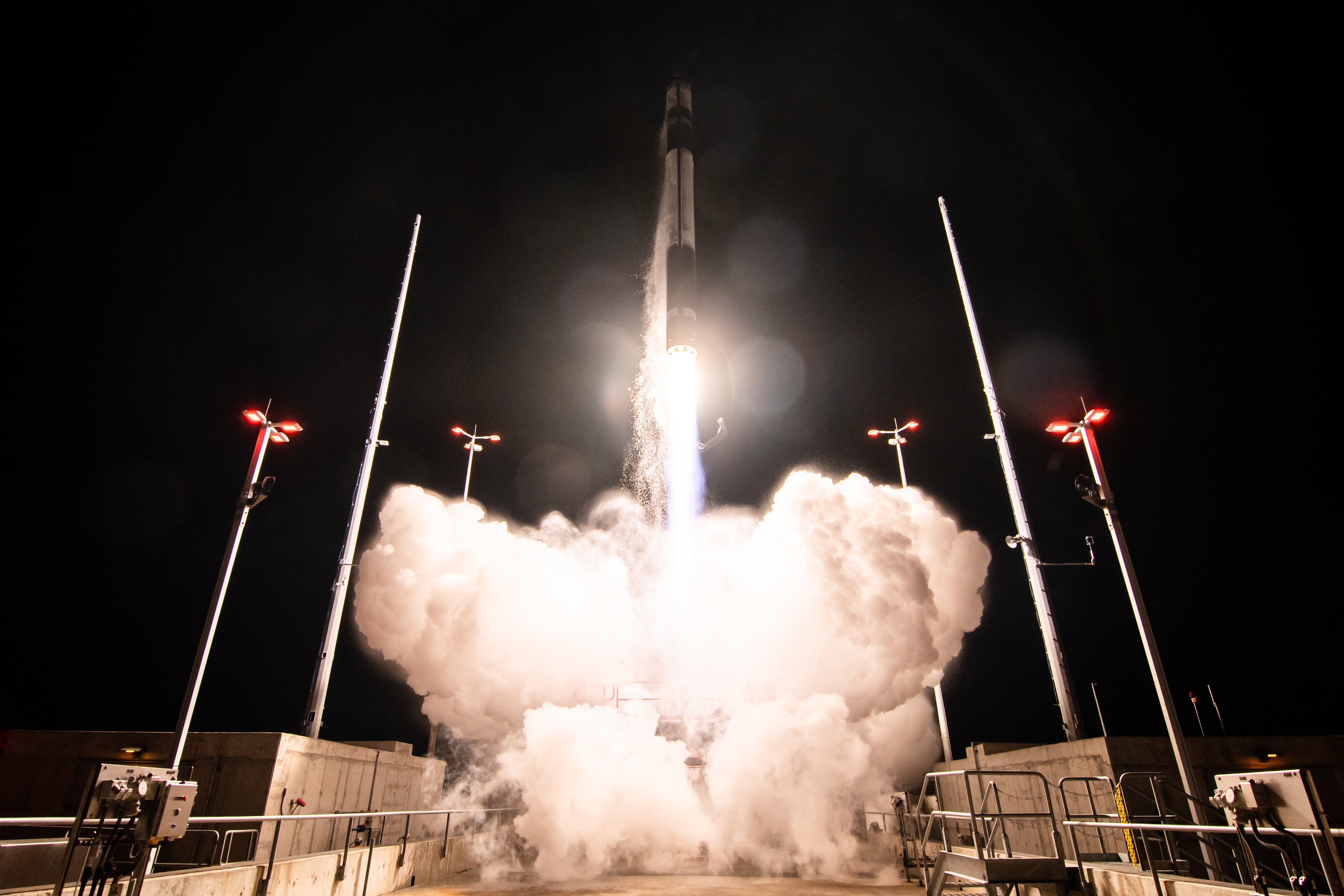
Small sats can be put into orbit quickly and relatively inexpensively. This makes them an attractive option for the intel community when operators realize a need to deploy a new sensor type, for example. It also offers the possibility of a quick and affordable technology refresh cycle.
"Some of these satellites might last only three years, but they’ll be ready then to replace them with all new technology," Parikh said.
There’s a tradeoff here, in terms of resolution. Today’s big commercial satellites can generate imagery in the 30-centimeter range, whereas Planet’s small sats, for example, will be delivering in the three- to five-meter range, Parikh said.
"Today, with the satellites that are coming online, the resolution levels are not that high, but it is not all about resolution. It’s about sensor diversity and spectral diversity and high revisit rates and the rate of technology refresh," he said.
Revisit rates in particular factored into the NGA’s decision to strike a deal with Planet. While conventional satellites can offer a comparable revisit, taking new imagery once every 15 days, small sats can do so in a more comprehensive way.
"Right now you have to point at your target. Am I looking left or am I looking right? You have to pick the unique spot that you want," Parikh said. Planet, which launched its first satellite three years ago, will literally see everything. While the resolution may not be ultra-high, these constantly updated images still should provide valuable intel.
On a macro level, for example, small sats could do environmental monitoring.
"Three to five meters might not tell you if that specific car is parked here, but it is good enough to tell you what is happening with crops and vegetation; it is good enough for broader scale, macroscopic phenomena," he said.
It’s good enough, too, to aid with military strategy. Rather than point an expensive satellite at a port day after day, waiting to see if a ship moves, frequent refresh from small sats creates the possibility of inexpensive but highly informative change detection. "Then if I see a change, if I see that the ship has moves, that can cue me to point some of my [most capable] assets," Parikh said.
Likewise, such imagery could cue military planners into structural changes such as road construction.
Planet said in a statement that the NGA contract represents a win for the entire small sat community as it seeks broader adoption.
"To have the U.S. government as a customer for a commercial service isn’t just a win for Planet — it’s a boon for all innovators and new players participating in this space renaissance — whether they’re building powerful new satellites, increasing access to launch opportunities, or developing novel imagery analysis methods," said Jen Marcus, director of U.S. Government Strategic Partnerships.


