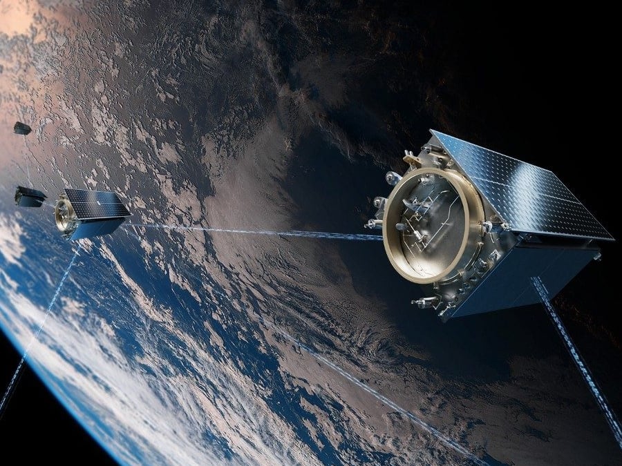
Not since the Maginot Line has there been a static, fortified border as prominent as the DMZ. And unlike its gallic predecessor, the DMZ endures as intended, a mutually impenetrable void between two permanently mobilized armies, bounded on each side by the oceans that shape the Korean peninsula. There are ways around the border for diplomats and tourists, guided visits and formal state functions, but for the observer looking to peer into North Korea from beyond the reach of its security services, the best way to study the country is by watching it from above. Far, far above. Space, to be exact, which is one reason the Center for Strategic and International Studies (CSIS) is partnering with the National Geospatial-Intelligence Agency (NGA) to create unclassified reports on North Korea.
A press release notes that the partnership will “use available geospatial imagery and data to produce new, timely, and accurate reporting on the North Korean economy, society, infrastructure, and border activities,” and goes on to say that this is in accordance with a drive to increase the transparency of U.S. intelligence community. Given the fundamental opacity of intelligence agencies, both by design and tradition, it’s perhaps best to think of this less as transparency in the traditional sense of making obscure work available for public inspection, and more as a way to let others tell intelligence stories using information that can be found in the open source, or released into the open source.
CSIS and NGA will hardly be the first to look at satellite imagery to decipher developments in North Korea. Researchers at the James Martin Center for Nonproliferation Studies at the Middlebury Institute of International Studies at Monterey have worked in the open-source space for years, using everything from Google Earth to seismographic data to topographic images from NASA to map nuclear testing complexes. Researchers at 38 North, a North Korea analysis project of the Stimson Center, have used satellite images to analyze markets in North Korea’s economy and rocket fuel production.
Already, the CSIS/NGA partnership has produced reports on railway manufacturing and urban development, using images from commercial satellite imagery company DigitalGlobe. So far, the reports appear authored solely by members of CSIS. As for NGA? They are the provider of data, offering (in a sample example of the legalese of the agreement) to “extend access to commercial and unclassified geospatial data” to organizations, like CSIS that agree to the framework as outlined.
“NGA’s partners will maintain full editorial independence, NGA will help review how our partners create content not what they create in order to grow authoritative content,” the site states, (Emphasis in original).
Is it as transparent as promised? We’ll have to take NGA’s word for it.
Kelsey Atherton blogs about military technology for C4ISRNET, Fifth Domain, Defense News, and Military Times. He previously wrote for Popular Science, and also created, solicited, and edited content for a group blog on political science fiction and international security.


