The Army is turning to tiny cameras to help troops pinpoint positions in places where GPS navigation is unavailable.
Although GPS has become a near-indispensable navigation aid for troops, the technology is not without its faults. GPS's biggest drawback is that its signals can be easily blocked by local terrain features, such as mountains and tall buildings. The technology is also vulnerable to jamming and other forms of intentional and unintentional signal interference. Whatever the cause, when GPS fails warfighters are left to estimate their position by using traditional--and far less precise--methods, including maps and compasses.
To address GPS's core weakness, the Army Materiel Command's Communications-Electronics Research, Development and Engineering Center (CERDEC) is looking to miniature cameras to provide vision-aided navigation support in satellite-denied situations. Vision Aided Navigation (VAN) for Army Applications is an applied research project still in the early development phase with a low to medium technology readiness level. The project's main objective is to characterize the performance of vision-aided navigation systems and components as an alternate navigation solution for GPS denied or degraded Army combat environments including dismounted and mounted Army systems.
Rapid-Fire Camera
VAN uses a camera featuring a rapid frame rate to snap pictures of nearby objects. The system then compares object features in each frame to determine how far, and in which direction, the camera has moved in relation to each object. Using feature detection technology, the camera is capable of determining even the slightest object movement, enabling its operator to track a person's relative position and movement over a given trajectory or path. The system also incorporates inertial measurement units (IMUs)-- accelerometers, gyroscopes and various other types of sensors. Working along with the camera, the IMUs generate continuous motion and direction data.
"The fundamental concept is to incorporate or combine data from visual scenery obtained from cameras with that of IMUs to provide estimates of the motion of the system as mounted to an individual--dismount--or mounted vehicle platform," said Gary L. Katulka, senior electronics engineer in the Positioning, Navigation and Timing Division (PNTD) within CERDEC's Command, Power & Integration Directorate (CP&ID). Katulka is one of VAN's principal investigators, along with Kevin Johnson and Eric Bickford.
"The motion estimates are then used to derive the position of the user that is equipped with the vision aiding system," Katulka said. "Thus, the system is designed to be fully autonomous in estimating relative position as it will not rely upon space based signals, such as GPS. "
The project, which got underway in its current form in FY12 is estimated to mature to the point of technology transition by approximately FY22, Katulka stated.
Multiple Platforms
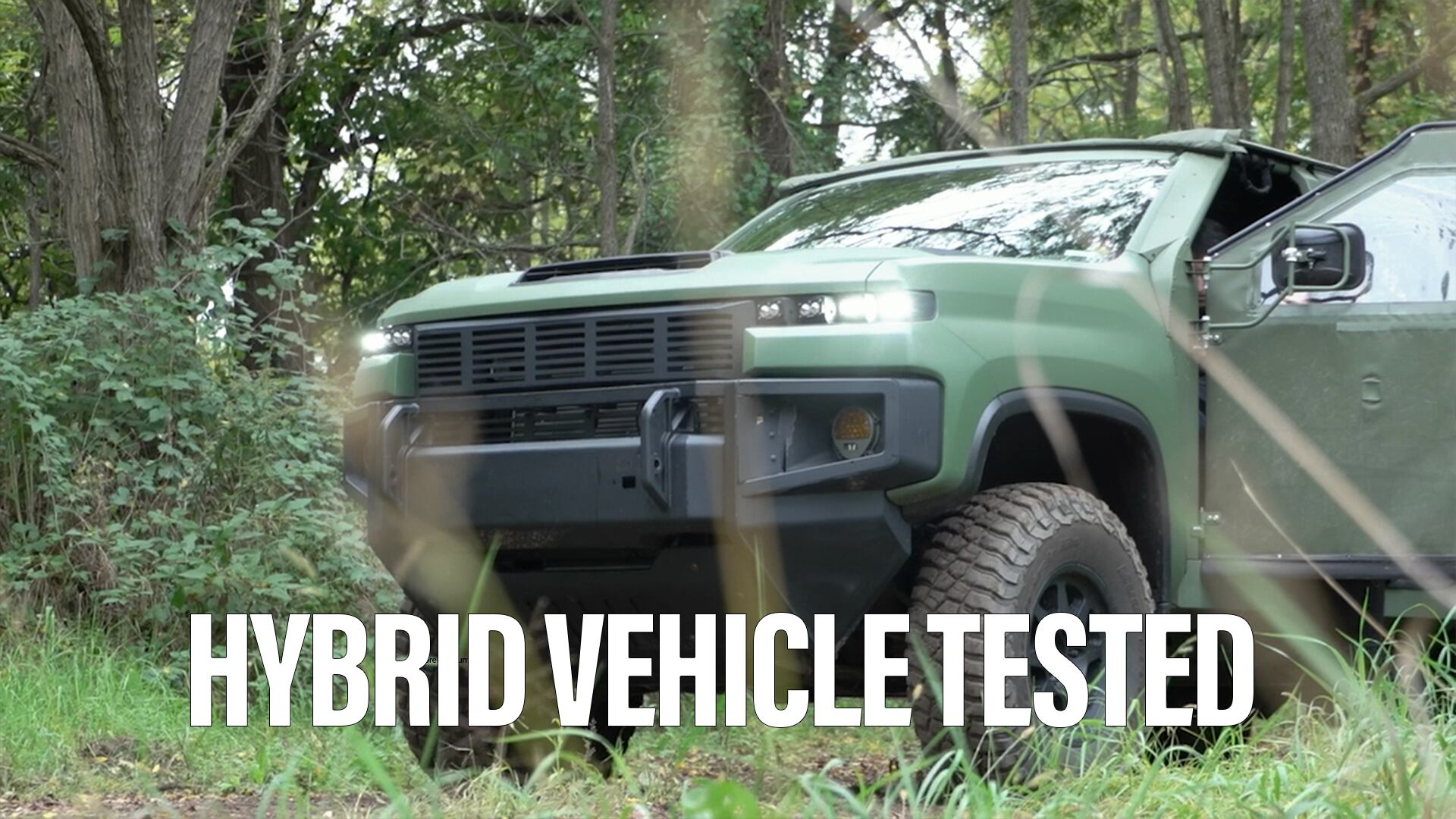
According to Katulka, VAN will likely first be deployed as a vehicle-mounted technology. CERDEC has already tested this approach by installing the system in a standard vehicle and driving along a major highway. In trials, the camera's feature detection capability accurately captured everything in its path at both high and low speeds, including signage, other vehicles and trees.
Katulka noted that there's also the potential VAN could eventually be integrated with aerial vehicles. "In fact, the U.S. Air Force has related ongoing technology efforts based on visual navigation focused on Air Force platforms," he said. "Additionally, there are efforts within the Army considering forms of visual aided navigation for precision guided munitions (PGMs)."
Katulka added that there is also the potential for "synergism with other electro-optic warfighter technologies which are being developed concurrently by the Army that can potentially be leveraged in support of vision aided navigation for Army platforms."
For now, however, the focus is on a standalone technoolgy supporting ground troops operating in various types of environments. "The main objective and importance is to provide a reliable and trusted source for position estimates for soldiers who may not have reliable access to GPS signals for positioning, navigation or timing (PNT) information," Katulka said. "Most likely, it would be used as an alternative to GPS, say for situations where GPS is anticipated as being unreliable or unavailable."
Katulka said that early test results have been encouraging. During recent tests in urban settings, a soldier-mounted prototype enabled the operator to stay on nearly the exact trajectory to the path generated by GPS and other sources."From relevant experiments and studies conducted to date, the positioning performance obtained from prototype systems shows very good performance, similar to that which can be obtained from GPS position estimates, albeit this is for limited test cases and not the most realistic environments," he noted. "However, in some cases, the performance actually demonstrated better than that of commercial GPS due to fundamental limitations of commercial GPS.
A dual-camera version of VAN, capable of stereo imaging, could become a viable option at some future point as long as size, weight, power and cost (SWAP-C) requirements can be met, Katulka noted. Such a system would provide 3-D-level imaging, with objects appearing to shift between camera views, providing depth/distance information the current single camera system lacks.
Work in Progress
VAN is still in the early development phase and only a limited number of advanced laboratory prototype systems have been built. "Laboratory studies and field trials are currently in progress and expected to continue for the next several years in increasing levels of complexity," Katulka said.
Katulka observed that it's always challenging to predict how future technologies will develop since multiple variables must be considered, such as judging the availability and maturity of various component technologies as well as forecasting R&D funding levels spanning several years. "However, from the current level of technology progression that has been observed, it is possible that field use as anticipated could take place within the next five to ten years," he said.


