WASHINGTON — The National Geospatial-Intelligence Agency awarded Maxar Intelligence a contract to provide space imagery of the Indo-Pacific region.
The Westminster, Colorado-based company said in a Jan. 4 statement it will provide “highly accurate and detailed 3D models” to the agency, which analyzes Earth imagery in support of military intelligence and humanitarian missions.
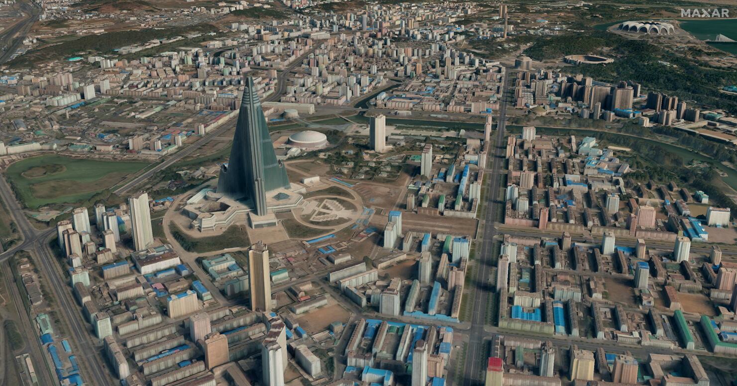
Maxar will deliver the imagery through its Precision3D Data Suite, which uses photogrammetry techniques to maps and model regions of Earth in multiple dimensions. The bundle will cover 160,000 square kilometers within U.S. Indo-Pacific Command’s area of responsibility.
“Precision3D data enhances situational awareness and decision-making, providing a precise, geospatially accurate representation of Earth that not only reflects the terrain in all dimensions but also provides an accurate foundation for additional data sources through georegistration,” the company said.
Maxar declined to provide details on the value of the contract.
The work will support NGA’s Office of Geomatics, which is focused on maintaining accurate geospatial intelligence for the military and civilian agencies.
“Maxar Intelligence is proud to have secured this award to provide the NGA with commercial 3D data, which speaks to the NGA’s strong partnership with industry and the growing business case for utilizing unclassified, high-quality commercial geospatial data to support national security needs,” Maxar said.
Maxar was acquired by private equity firm Advent International last May in a $6.4 billion deal. Following the acquisition, the company reorganized into two business units: Maxar Intelligence and Maxar Space Infrastructure.
Courtney Albon is C4ISRNET’s space and emerging technology reporter. She has covered the U.S. military since 2012, with a focus on the Air Force and Space Force. She has reported on some of the Defense Department’s most significant acquisition, budget and policy challenges.


