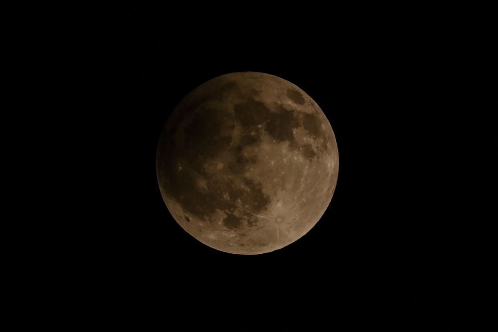
ST. LOUIS — The intelligence agency charged with mapping the Earth is laying the groundwork for a navigation system that would help visitors to the moon find their way around the lunar environment.
The National Geospatial-Intelligence Agency, along with other government space organizations, is developing what it calls a Lunar Reference Frame — essentially, the mapping infrastructure that would support a GPS-like capability for the moon.
“Today, we’re working NASA, the U.S. Geological Survey, the U.S. Space Force and U.S. Space Command to develop a lunar geodetic system that will guide future visitors around the moon’s surface as accurately and safely as GPS does on Earth,” NGA Director Vice Admiral Frank Whitworth said May 22 at the GEOINT Conference in St. Louis.
The Lunar Reference Frame will serve a similar function as the World Geodetic System, which undergirds navigation capabilities like GPS, providing precise and accurate latitude, longitude and timing data. NGA maintains that system, dubbed WGS 84.
The push to develop a navigation framework comes as the U.S. and other countries — along with commercial companies — plan missions and envision a future economy on the moon.
The U.S. Department of Defense has also made a notable shift in its posture toward operations around the moon, from viewing potential threats in deep space as a far-off future to anticipating that those concerns could present much sooner. In recent years, the Air Force Research Laboratory and the Defense Advanced Research Projects Agency have initiated a number of programs that explore satellite sensing and logistics in a lunar environment.
Whitworth noted that while the current focus is on a moon-based system, he expects NGA will eventually develop similar navigation frames for other planets and said the agency is building its workforce to support those future needs.
“We’re working on growing and training the next generation of scientists and bringing geodesy and geomatics skill sets back to the U.S.,” he said.
James Griffith, director of the agency’s Source and Operations Management Directorate, told reporters during a May 22 briefing that while the NGA serves as the lead DoD agency for the Lunar Reference Frame, many other organizations have a stake in the effort.
“NGA brings expertise to the community in how to build a reference frame and in the geodetic sciences. Our role is to lead in that regard,” he said. “There are others out there within the department and elsewhere who say, ‘This is what we need the reference frame to do.’”
While the agency has crafted a navigation framework before, the challenge in developing the lunar system will be understanding how to collect data in the moon environment.
“The moon as a planetary object operates very differently than the Earth,” he said. “We know the types of data we need, but we don’t necessarily know how to collect it in that type of an environment because our tools aren’t built for that. And so, we have a lot of exploratory work to do between now and actually developing a final reference frame.”
As for a timeline for delivering the capability, Griffith said NGA is working with its partners to prioritize their needs and set a schedule. He noted that the agency is partnered particularly close with NASA, which plans to launch a crewed test flight to the moon in 2024 in preparation for its next moon mission, Artemis III, in 2025.
“I can’t promise you that we will be in a place where we’re completing the work in time for the Artemis launch,” he said. “We are certainly working very closely with NASA on what the solution looks like and how it will be rolled out.”
Courtney Albon is C4ISRNET’s space and emerging technology reporter. She has covered the U.S. military since 2012, with a focus on the Air Force and Space Force. She has reported on some of the Defense Department’s most significant acquisition, budget and policy challenges.


